

Cedarlands Easement/McRorie Lake
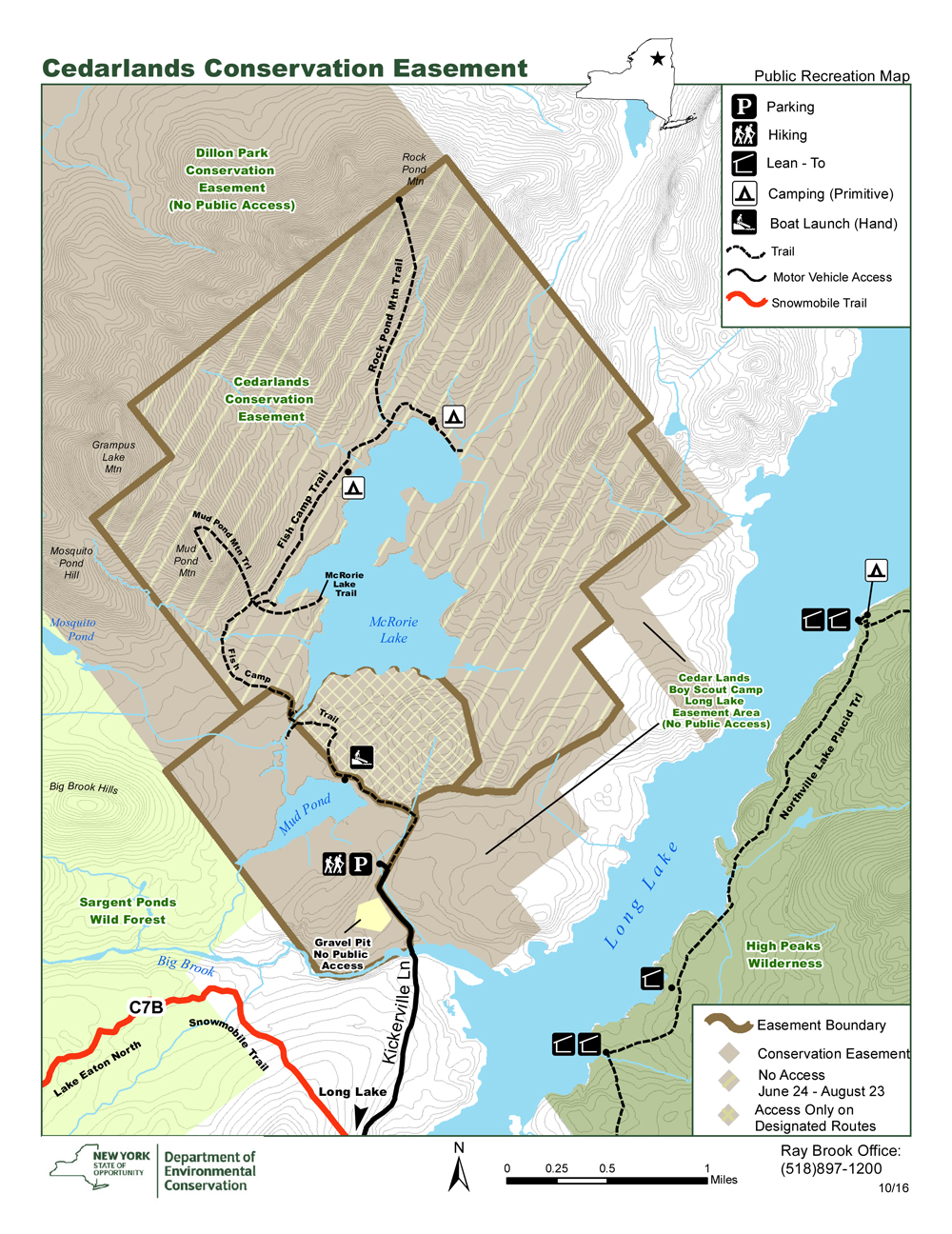
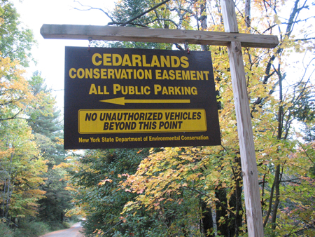
From Long Lake hamlet, drive north on NY 30. Turn right onto Kickerville Road, reached 0.6 miles past the bridge over Long Lake. If coming from the north, you reach Kickerville Road 3 miles after crossing Big Brook. Go down Kickerville Road for 2 miles, where the road turns to dirt. Continue on the dirt road for 0.8 miles, where you will see a left turn for a parking area. The portage begins at the lot: walk 0.3 miles down the dirt road to a junction of three gated roads. The one in the center is for Cedarlands. The one on the left is the continuation of the portage to Mud Pond. Continue another 0.4 miles to a put-in on the left.
There are six miles of trails on the Cedarlands Easement which are available for hiking from August 24 to June 23. A 0.75-mile section of trail to Mud Pond is open to the public all year.
Fishing Camp Trail extends 4.0 miles from the trailhead to the northeastern shore of McRorie Lake and serves as the main access to the interior of the easements. The first 0.4 mile of the trail is located on the Kickerville Road. The trail passes Mud Pond then runs parallel to the shores of McRorie Lake and with small ascents and descents along its length.
The trail is closed beyond the Mud Pond Hand Launch Site (approximately 0.75 mile from the trailhead) from June 24 – August 23. Hikers must remain on the section of trail between Mud Pond and the McRorie Lake Outlet (the Base Camp Area). Accessing the private lands adjacent to the trail is prohibited.
The following trails are accessed from the Fishing Camp Trail and are available to the public from August 24 to June 23:
McRorie Lake Trail leaves the Fishing Camp Trail approximately 2.1 miles from the trailhead at the junction of three trails. The trail extends 0.5 mile at the end of a point on the southwest shore of the lake.
McRorie Lake Spur Trail leaves the McRorie Lake Trail 0.1 mile from the Fishing Camp Trail junction and extends 250 feet to the shore of a bay in southwestern McRorie Lake.
Mud Pond Mountain Trail leaves the Fishing Camp Trail approximately 2.1 miles from the trailhead at the junction of three trails. The trail ascends 0.75 mile and 300 feet to the summit of the 2,372-foot mountain.
In order to get to Mud Pond Mountain, you will need to park in the designated parking and hike the 5.8 miles round trip. The trail is well marked. You will need to pay close attention for the Mud Pond Mountain trailhead marker to the summit on your left near the halfway point. The sign says “OA Trailhead” (Order of the Arrow) – a name the boy scouts gave to the mountain. Along the way, you will pass by Mud Pond and McRorie Lake outlet.
Rock Pond Mountain Trail leaves the Fishing Camp Trail approximately 3.5 miles from the trailhead and trail ascends 1.4 miles and 1,170 feet to the summit of the 2,908-foot mountain. This trail is in rough condition and needs TLC. It is being reviewed by the NYSDEC and Rangers for it’s viability to maintain it and maybe re-route sections and brush it out. Stay tuned for more updates.
CAMPING INFO
Tent sites are available on a first come-first served basis and cannot be reserved. Designated sites are marked with a yellow “Camp Here” disc. Designated tent sites are for tents only.
Two primitive tent sites on McRorie Lake are available to the public from August 24 to June 23 and can be accessed using the Fishing Camp Trail.
